Problem Statement: Operational risk from delayed detection
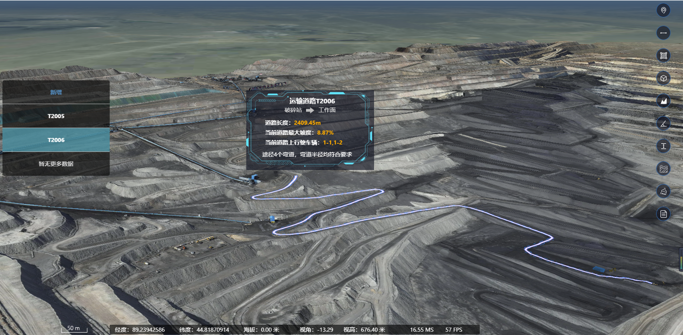
Open-pit mines face concentrated hazards: moving heavy equipment, shifting benches, and sudden slope failures that can escalate in minutes. Operators lack continuous, uniform visibility across large benches, and that gap turns into operational risk. Modern projects address this by combining sensor networks and analytics into a single mining monitoring system—this integration reduces blind spots and shortens the time between anomaly and response.
How high-speed object tracking changes detection
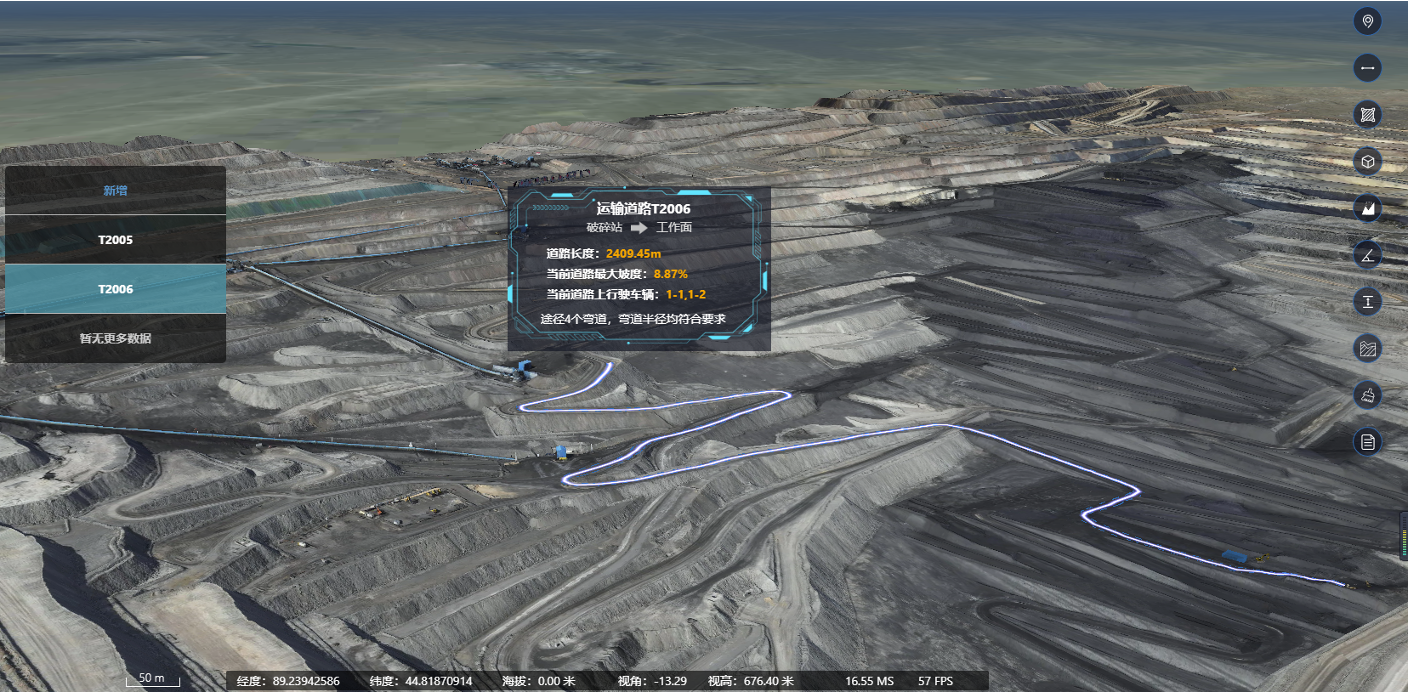
High-frequency tracking links visual data to geotechnical measurements. A system that fuses LiDAR point clouds with real-time telemetry and a digital twin lets teams see the position, velocity, and clustering of vehicles and material flows. That fusion improves situational awareness: object detection flags unusual motion; the digital twin contextualizes it against design models; telemetry confirms equipment state. Together these elements support faster, evidence-based decisions on slope stability and evacuation.
Core components and practical architecture
Operational deployments typically pair a few disciplined layers: edge cameras and LiDAR for immediate object capture; short-range radar or radar interferometry for persistent slope monitoring; a local compute layer for millisecond-level tracking; and a cloud or on-premise digital twin for historical and predictive analysis. Geotechnical instrumentation—extensometers and piezometers—feeds independent ground-truth into the same timeline. Proper integration reduces false positives and yields a single coherent view for supervisors.
Case study anchor: learnings from the Bingham Canyon response
The 2013 Bingham Canyon event in Utah focused industry attention on continuous monitoring for large open-pit sites. Since then, risk programs have emphasized automated alerts and layered sensing to detect precursory movement well before visible collapse. Systems built around open pit mine monitoring now often include automated thresholds tied to both geotechnical instrumentation and object-tracking anomalies, which shortens reaction windows and clarifies cause-effect between equipment movement and ground response.
Common implementation mistakes and how to avoid them
Teams frequently make the same errors: collecting data without synchronized timestamps; treating cameras and sensors as separate workflows; and ignoring bandwidth constraints between edge and control rooms. Another common mistake is over-reliance on a single sensor type—LiDAR is precise for structure, but it does not show operator intent. Avoid these by enforcing time-synced logs, designing a unified data model, and validating outputs with manual inspections during commissioning—small checks that pay off in system reliability. —Keep human procedures simple and rehearsed so alerts translate quickly into action.

Advisory: three metrics to evaluate systems
Use these three concrete measures when choosing a solution: 1) Detection-to-alert latency: measure end-to-end time from physical movement to actionable notification; aim for seconds to low tens of seconds depending on exposure. 2) Integrated fidelity: verify that LiDAR, camera feeds, radar, and geotechnical sensors align within a shared coordinate frame and timestamp accuracy of milliseconds. 3) False-alert rate under operational load: test the system across full-shift traffic and weather cycles and quantify the rate of nuisance alerts per 24 hours. These metrics predict operational usefulness far better than vendor feature lists.
Practical rollout checklist
Start with a focused pilot on a single high-risk bench; instrument that area with a mix of LiDAR, cameras, and geotechnical instrumentation, then mirror the data into a digital twin. Validate alerts against historical incidents and refine thresholds. Expand in staged rings, prioritizing haul roads and active working faces. Maintain a short incident log during rollout to improve model calibration and operator trust.
Conclusion
High-speed object tracking, when integrated with geotechnical data and a living digital twin, reduces detection delays and produces actionable alerts that protect people and assets. The practical benefits are measurable: shorter detection-to-action times, clearer incident forensics, and lower operational disruption. For teams building resilient monitoring programs, solutions that combine real-time object tracking with established open pit mine monitoring practices are the sustainable choice—this is the operational value offered by Icecypress Technology.
– proven in practice.